
Automated Map Exports
Build repeatable export workflows for recurring reports, project packets, field maps, and stakeholder updates.

Kentucky GIS consulting, location analysis, and GIS automation
We turn spatial data into clear maps, location analysis, GIS automation, and decision-ready workflows for planners, utilities, field teams, and growing organizations in Kentucky, the Ohio Valley, and beyond.
CartoCodeGIS provides GIS consulting, location analysis consulting, spatial analysis, map design, web GIS, and GIS automation for teams that need practical geospatial workflows. Based in Henderson, Kentucky, we support local GIS projects and remote teams across the United States.
Services
Reference maps, public-facing maps, print layouts, and decision maps that make complex places easier to understand.
Learn more02Site suitability, service areas, asset inventories, constraints, routing, and repeatable analytical methods.
Learn more03Site suitability, service coverage, access, constraints, and opportunity analysis for decisions about where.
Learn more04Interactive maps, lightweight dashboards, data viewers, and custom tools that meet users where they work.
Learn more05ArcGIS automation, cleanup, conversion, documentation, and publishing workflows that reduce recurring manual work.
Learn moreFocus
The goal is usable location intelligence: maps with a job to do, analysis that can be explained, and tools that survive past the first demo.
Project Examples
Build repeatable export workflows for recurring reports, project packets, field maps, and stakeholder updates.
Create focused web maps that help teams search, filter, and explain assets without opening desktop GIS.
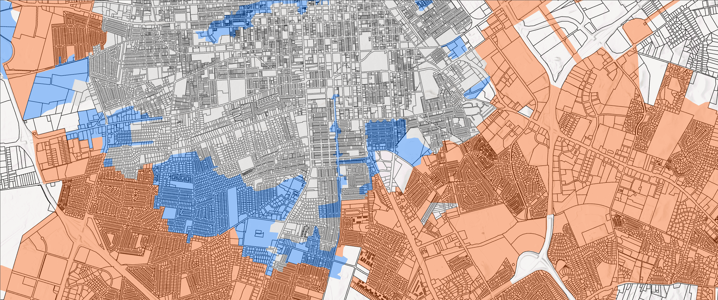
Compare parcels, constraints, access, service coverage, and opportunity layers with a method stakeholders can follow.
Simplify repetitive editing, tracing, cleanup, and quality review tasks with practical ArcGIS Pro add-ins or scripts.
Next step
GIS articles
GIS automation
Ten practical automation candidates, the inputs and checks each one needs, and the work that should still receive human review.
Read the articleGIS workflows
A step-by-step guide to mapping, automation, quality assurance, publishing, recovery, and long-term maintenance.
Read the articleGIS automation
Practical examples of GIS automation, from recurring map exports to cleanup, QA checks, hosted layer updates, and reporting.
Read the articleLocation analysis
How GIS supports site selection, service areas, constraints, access gaps, and better location-based decisions.
Read the articleGIS automation
What GIS workflow automation means, what tasks can be automated, and when it helps teams reduce manual GIS work.
Read the articleProcess
Start here
Send a few details and CartoCodeGIS will follow up with next steps. If you prefer email, you can still reach us directly at cartocodegis@gmail.com.
Based in Henderson, Kentucky, supporting local and remote GIS projects across the Ohio Valley and beyond.
Prefer to talk? Call (859) 414-2918.